New Zealand LiDAR & Aerial Imagery Project
2020-2021
Ohakea Airbase (ICAO: NZOH) LiDAR Data Capture
January 2021
From December 2020 to January 2021 we undertook aerial imagery and LiDAR surveys of Ohakea Airbase (ICAO: NZOH) and Wellington for our client, Woolpert Inc.
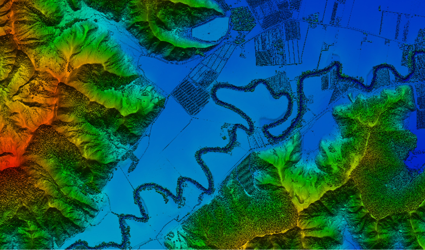
Optech Galaxy PRIME Aerial LiDAR Terrain Mapper
Aerial LiDAR Survey
Aerial photography specifications were set for a 15cm GSD (ground sample distance) resolution with a 60% forward overlap and 30% side lap. Flight planning was designed around the following requested criteria:
4-band aerial imagery at 14cm< GSD with a horizontal accuracy of 30cm RMSE at a 95% confidence rating
Aerial photography acquisition for UCE 100mm with a GSM3000 mount and and IGI CCNS4 pos system.
The UltraCam Eagle camera system was used, consisting of both panchromatic and multispectral cameras.
An airborne LiDAR survey of Ohakea airbase was carried out without simultaneous photographic capture. Flight altitude was planned for approximately 2500m with an area coverage of 637km2. The flight took 21 survey runs.
The Optech Galaxy Prime LiDAR sensor system was used to collect data at a minimum of 1m NPS (nominal pulse spacing) at 1ppm (points per meter) point density.
Aerial Imagery Survey
Wellington UCE 14cm GSD Imagery Coverage
Ohakea UCE 14cm GSD Imagery Coverage
Deliverables included all raw data - raw laser scans, base station data and airborne GNSS/IMU data. All system calibration files and ABGPS processing files were also provided, along with final ABGPS/IMU data.
Full acquisition reports were provided for the aerial photography survey of Ohakea and Wellington, providing complete flight trajectory data, flight logs, calibration certificate, imagery QC reports and ABGPS computation reports. 560 UCE 14cm GSD images were captured of Ohakea and 636 UCE 14cm GSD images of Wellington AOI.
Processing & Deliverables
The IMU and GPS systems used were the POS AV (™) AP60 (OEM), a 220-channel dual frequency GNSS receiver and an airborne GNSS antenna with iridium filters, and high accuracy AIMU. The Trimble PPRTX method was used for airborne gps and imu computations.
Our survey flight plan was designed to cover a 326km2 area of Wellington and a 310km2 area of Ohakea, with planned 18 and 15 flight lines respectively at a rough altitude of 8835ft.
The flights for both locations were executed over 2 consecutive days. Both areas were surveyed in 17 runs. Airborne GPS and IMU computations and processing were performed and provided in respective reports, along with all relevant flight data.


