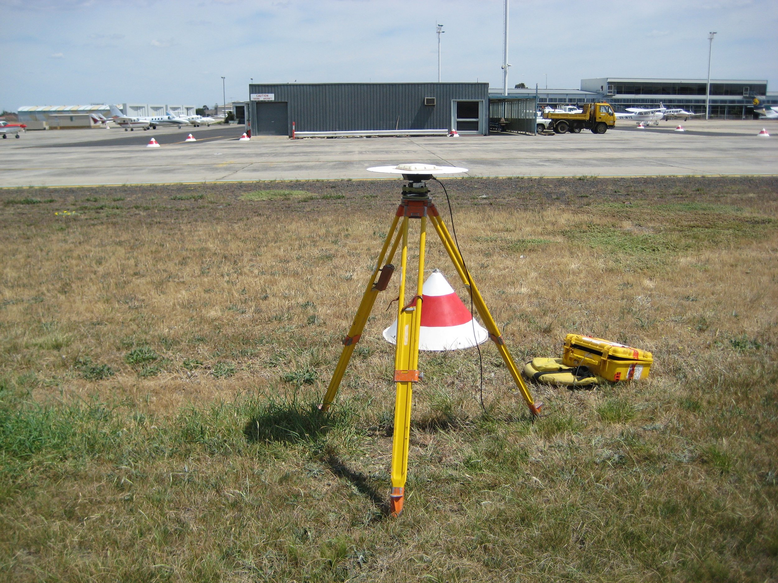
We offer comprehensive ground surveying services.
For example, we specialise in providing GNSS Network control surveys and airport eTOD collection ground surveys.
We also incorporate ground control point (GCP) or data validation surveys into our satellite imagery, aerial photogrammetry, LIDAR and other GIS data collection projects, in order to accurately rectify newly collected images and features with their corresponding terrestrial positions.
Ground Control Surveying
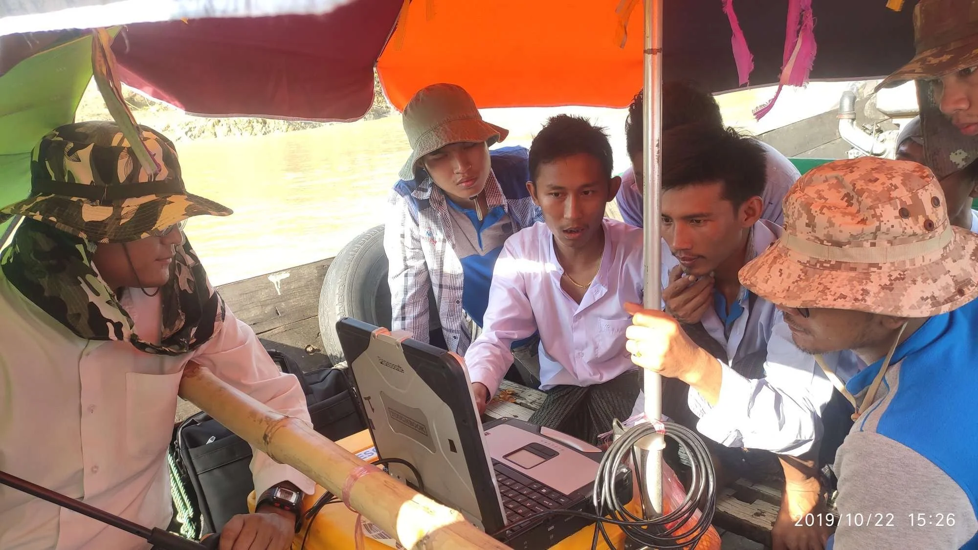
We offer hydrographic & bathymetric surveying services.
Our services cover both single-beam and multi-beam echo sounding surveys, remote marine vehicle operation, tide datum measurement and analysis, river navigation surveys and IENC Charting (IHO S57), and general hydrographic survey project management and consultancy.


