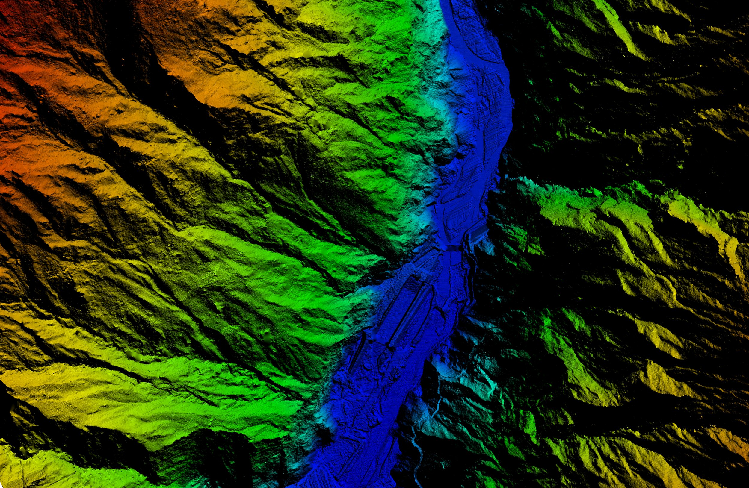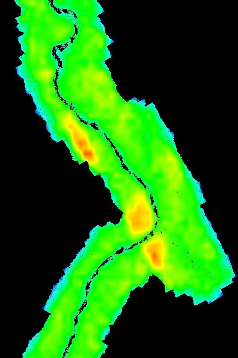
LiDAR, short for Light Detection and Ranging, is an aerial mapping technology that relies on calibrated lasers transmitted from a sensor installed on an aircraft.
This transmission is then reflected from the Earth’s surface, and returned to on-board positional sensors on a second, overflying GPS-monitored aircraft. Post-flight LiDAR data is then processed into laser point cloud patterns from which precise elevation data and geospatial positioning of features can be obtained.
Now with a capacity for multiple intensity returns and increased pulse repetition rates, LiDAR continues to be the leading data acquisition technology relied upon by industry in the production of 3D topographical maps.
LiDAR holds many advantages over other methods of data collection. Unlike traditional aerial photography, its flight operations are less weather-dependent. Another advantage is its ability to collect additional terrain information in regions where other methods, like stereo data correlation, may struggle to send a clean output due to interference or incoherence.
The speed at which it collects elevation information, and the density of ground points it can collect from allows for the direct generation of 3D digital models, making LiDAR unparalleled in its efficiency.
Airborne Laser Scanning (LiDAR)
Acquisition & Processing

Our LiDAR acquisition and data processing services fully comply with required ASPRS standards and USGS LiDAR Base specifications.
LiDAR can be used for the following applications:
Topographic Mapping
Floodplain Evaluation
Disaster Management
Coastal Erosion and Nautical Charting
Airport Obstacle Data Collection (eTOD) and Mapping
Land Use Mapping & Planning
Transportation Mapping
Forestry Mapping
Utilities & Transmission Line Corridor Mapping
Volumetric Studies
Mining and Mineral Exploration
We offer management and quality control of LiDAR processes for your project, including aspects like flight planning and approvals, and accuracy assessment reports that adhere to current ASPRS LiDAR Accuracy Reporting Guidelines.
Assessing point cloud density requirements that best suit the scope and budget of your surveying project.
Full LiDAR data processing and analytical deliverables according to your specifications, including data matching and classification services, intensity raster data sets, hydro-flattened digital elevation models (DEM), and digital terrain models (DTM).
We can also provide LiDAR data post-processing training for your team.


