Products & Technology
GeoCivil is a complete spatial data processing and mapping software package for surveyors, engineers and spatial data professionals.
Developed in Australia by Geocomp Consulting, GeoCivil is a mature, multi-purpose tool suited to all spatial data industry requirements.
-
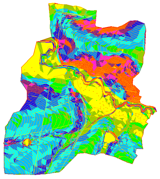
GeoCivil features a sophisticated set of coordinate geometry, terrain modelling, sectioning and design tools, as well as a CAD drawing editor.
It is interoperable with file formats produced by AutoCAD, Civilcad, GEOCOMP, Microstation, MX, and more. With recent software updates GeoCivil is now also able to accomodate D-Spec, R-Spec and ePlan. -
Some of the practical applications for GeoCivil include: survey data reduction, comprehensive coordinate geometry, terrain modelling and feature surveying, asset mapping (including A-spec), hardcopy map drafting, and subdivision design.

