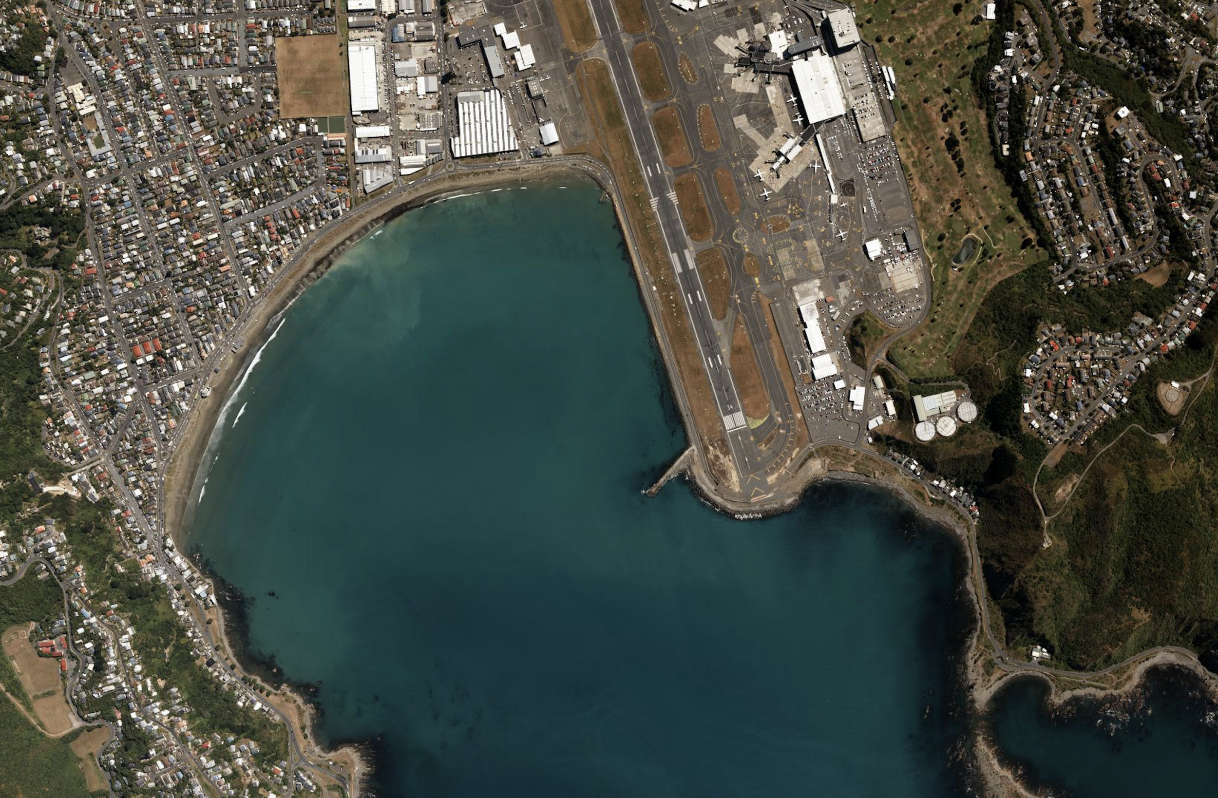
We can supply you with existing satellite imagery data, or acquire new images for your project. Our satellite imagery acquisitions services can also be relied upon to supplement other services we provide, and be applied to numerous deliverables.
Satellite Imaging & Remote Sensing
We specialise in the acquisition of high resolution satellite imagery.
We offer the following services:
-

3D Stereo Data Capture Services & Stereophotogrammetry
We offer a range of stereophotogrammetry and 3D stereo data capture services.
Stereophotogrammetry creates the illusion of depth in an image by means of stereopsis, or binocular vision. Stereoscopic technique involves the estimation of 3D coordinates on an object, from measurements taken from different stereo pair images. The final image is then calculated from this collection of tie points.
When applied in remote sensing, stereo image pairs captured via aerial or satellite platform can be used to generate digital elevation models (DEMSs), orthophotos, orthomosaics, and orthophoto maps.
-

Orthorectification & Mosaicking
Orthorectification is the process of making allowances and corrections to imagery data, according to factors such as local elevation differences and the curvature of the Earth’s surface.
Orthorectified images are produced by collecting aerial imagery and applying a rectification process using the associated area’s digital elevation data.
As part of our services, we offer orthophotos, orthophoto maps, and orthomosaics - as well as general mosaicking services for datasets and raster datasets.
-

Land Cover Mapping & Change Detection
Land cover mapping can involve any number of observed biophysical cover present on the Earth’s surface, while change detection covers any kind of program tracking this environmental data, analysing changes and often monitoring them long-term.
Automated satellite map datasets can capture detailed, continuous images of a projected area, enabling direct observation at controlled, repetitive intervals over a period of time.
Analysis performed via remotely sensed data offers a more cost-effective solution in the assessment of larger regions over traditional field studies.
-

Normalised Difference Vegetation Index (NDVI) Analysis
NDVI, or a Normalised Difference Vegetation Index, is a simple graphical indicator that can be used to analyse remote sensing measurements for assess ingwhether or not the observed target contains live green vegetation.
Satellite imagery provides one method of acquiring broad, detailed data for this analysis.


