Malaysia Sarawak Energy LiDAR Project 2020
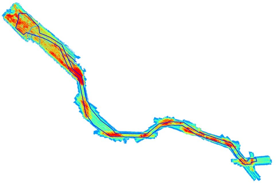
Surveys were conducted along the proposed transmission line routes with a 500m corridor width, and select sections with a 1500m width. Existing powerlines from the SEB Baleh-Mapai Alignment were also surveyed.
23 sites in total were surveyed along the Tondong-Lundu alignment.
Preliminary investigative cross-section and ground truthing surveys were held for the proposed routes in order to gather information for better terrain definition in areas. Calibration flights were also performed and final point cloud outputs were adjusted accordingly. Ground surveys were held as well for the calibration of LiDAR data.
In July 2020 we carried out LiDAR and aerial photography surveys to collect data for the Baleh-Mapai & Tondong-Lundu Transmission Line Project for our client Sarawak Energy.
The Riefl LMS-Q780i LiDAR system was used with a survey helicopter, and simultaneous aerial photography was captured with a Hasselblad H5D 50 medium format camera.
Point cloud specifications were within 10 to 1 points per square meter, and a sufficient point cloud density was obtained during the LiDAR survey, with only minor areas of dense vegetation requiring additional ground surveying. A total of 2936 images were captured across 3 flight runs, covering all sites along the alignment.
Daily LiDAR pre-processing was done against established GPS base stations and adopted coordinates, along with daily post-flight reports.
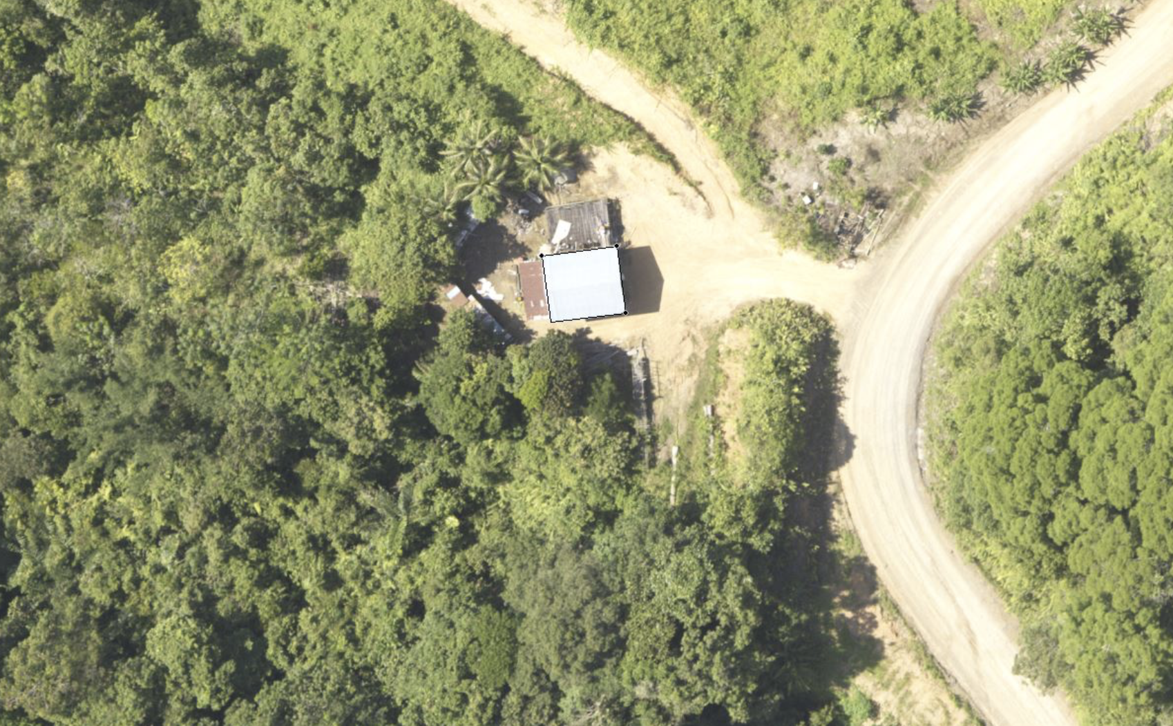
Aerial photography coverage
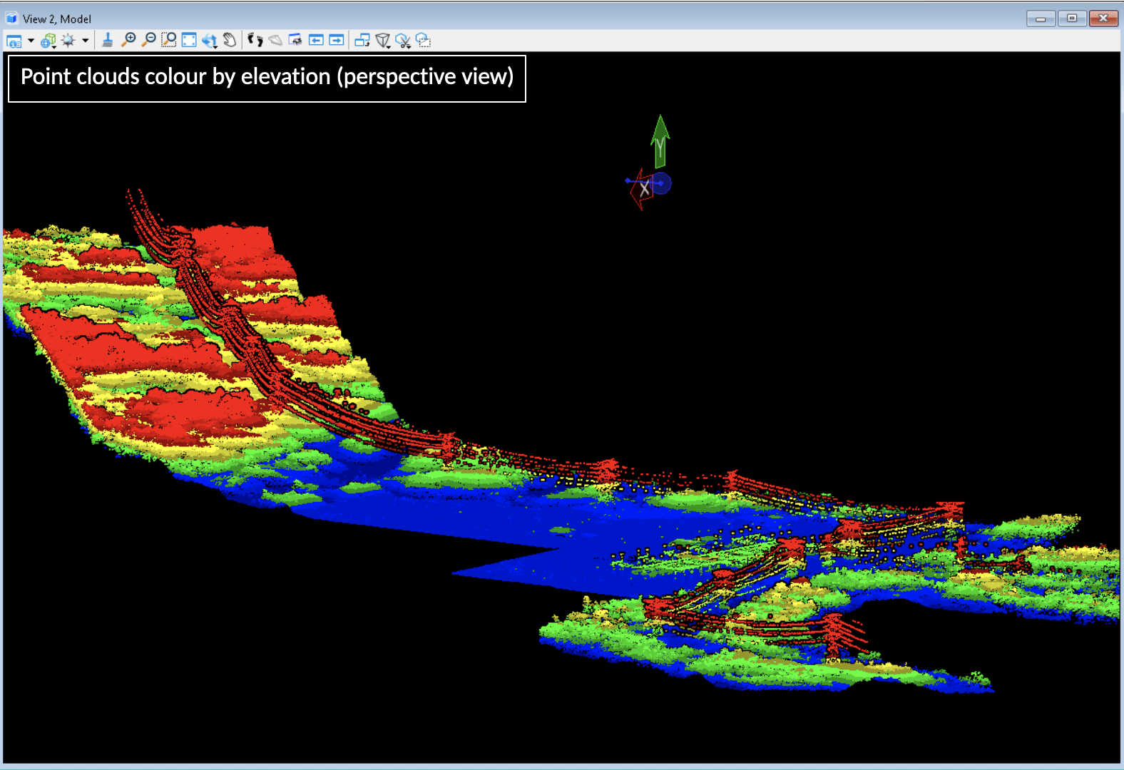
LiDAR Point Cloud Coverage
(Elevation Data)
LiDAR Point Cloud Coverage (Overlaps)
LiDAR & Aerial Imagery Survey
Data Processing & Deliverables
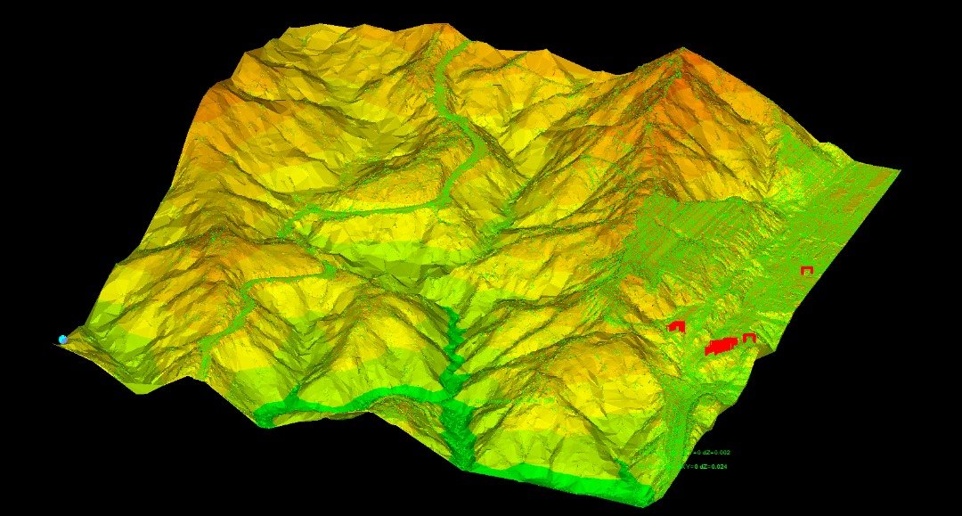
Our post-processing team completed all necessary data and imagery processing, handling, mapping and printing for client delivery. Final deliverables included products such as: georeferenced orthophotos (500msq), a DTM, DSM, and 1m contours, LAS format LiDAR point cloud data, and digital planimetric and topographic maps in an Autocad file with contour intervals provided in layers.
Detailed feature coding, drawing from LiDAR & aerial imagery survey data, was produced by our team and supplied in the required file formats to create a full ground model in PLS-CADD. Ground survey data provided additional information on features unable to be collected by the aerial LiDAR survey.
We also created a user software training course on request, called an ‘Introduction to LiDAR Data Management Software’. The course covered a comprehensive overview of LiDAR technologies, and provided LiDAR data interpretation training - particularly in the process of evaluating accuracy limitations within LiDAR data collection, and how to supplement it with data drawn from additional survey sources.
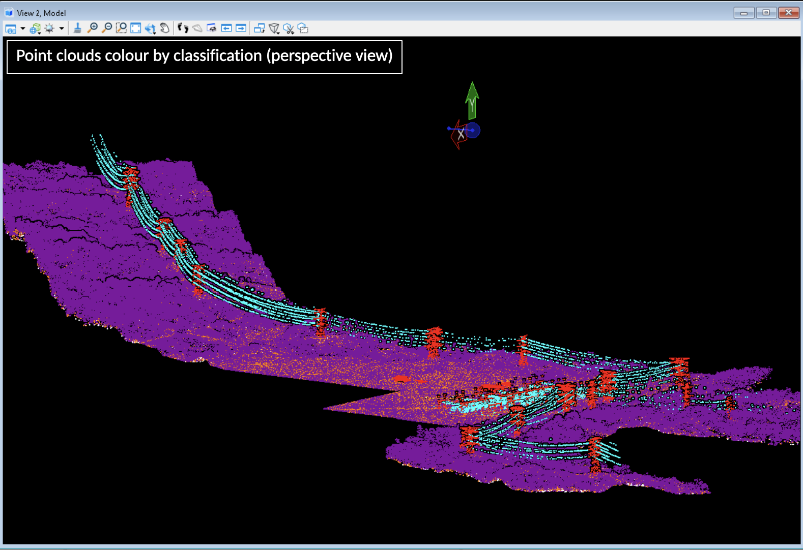
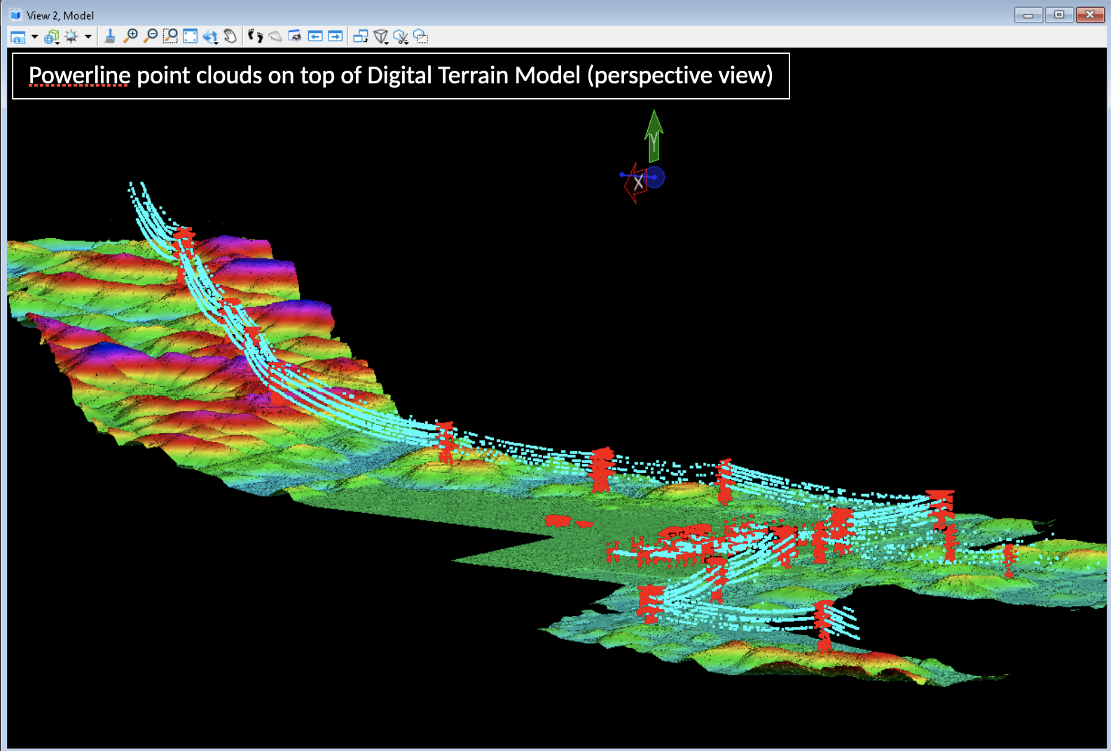
SEB Baleh-Mapai existing powerlines

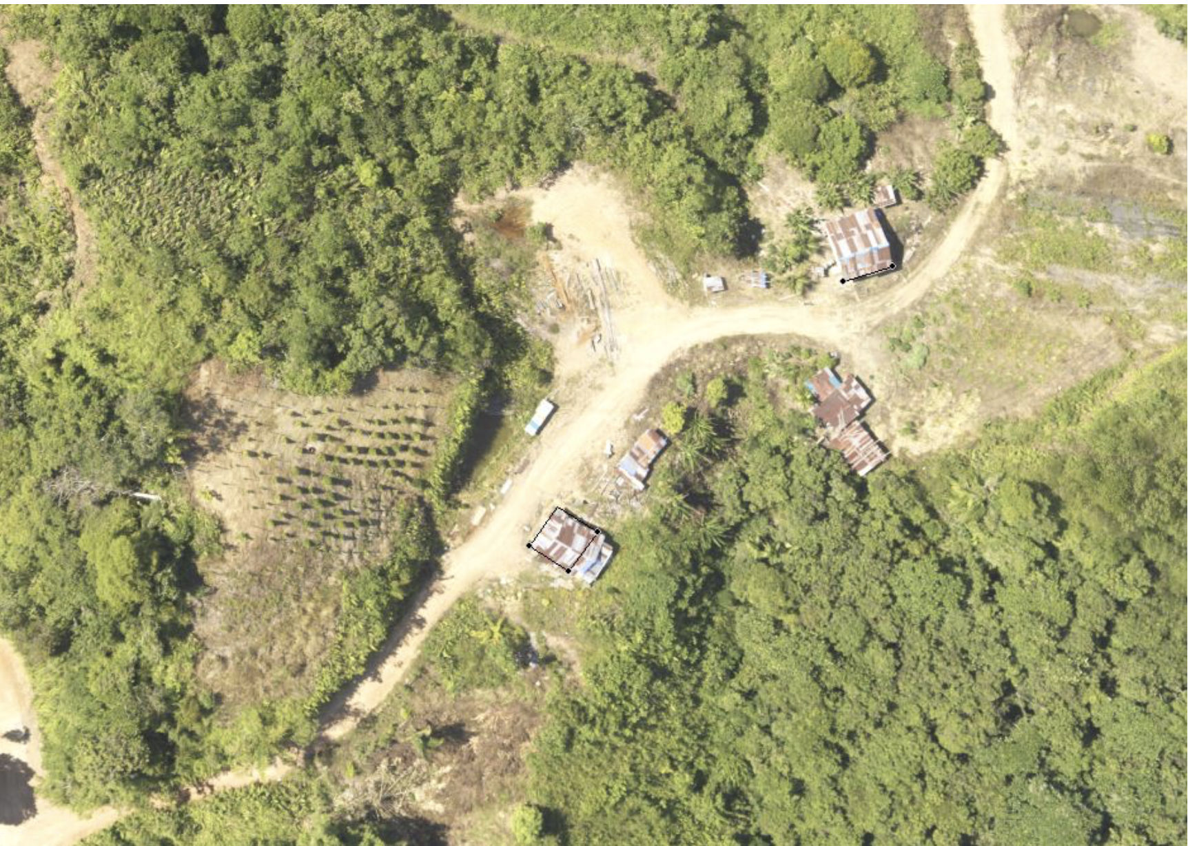
Baleh-Mapai orthophotography
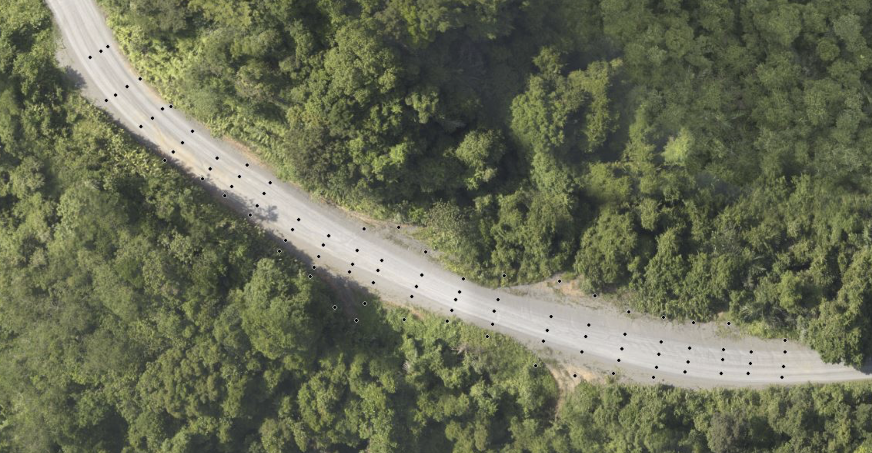
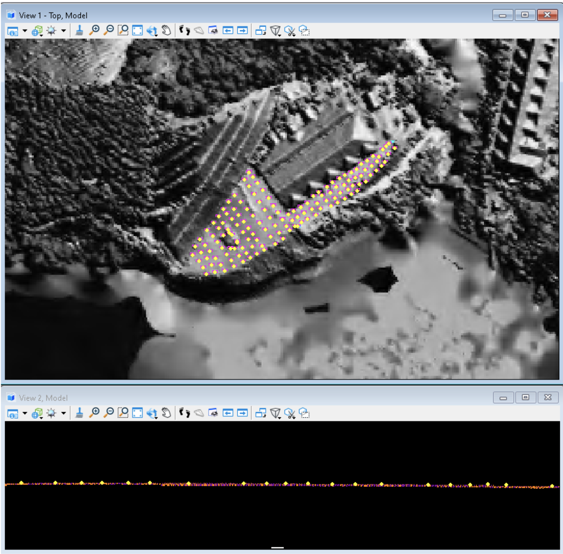
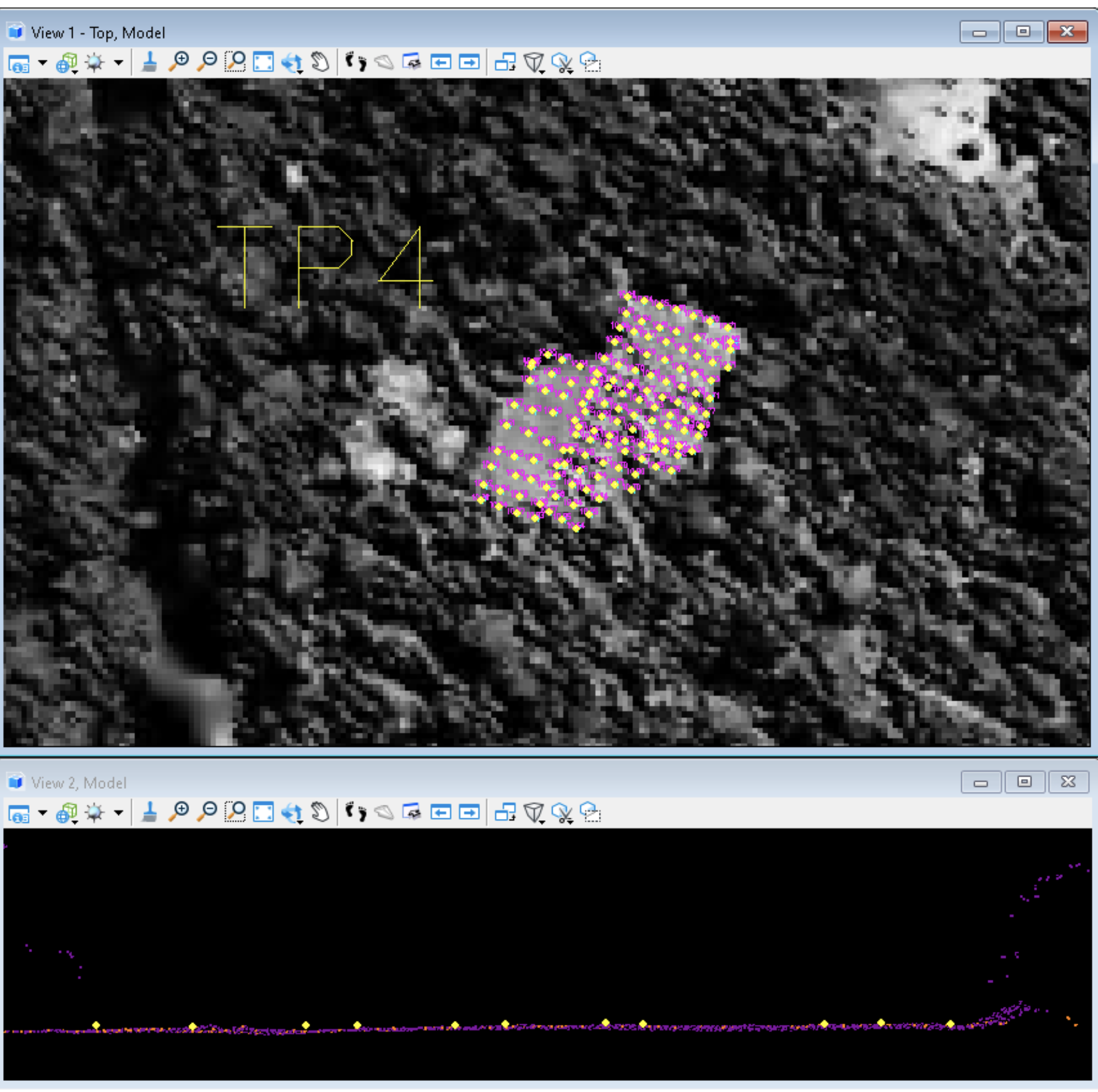
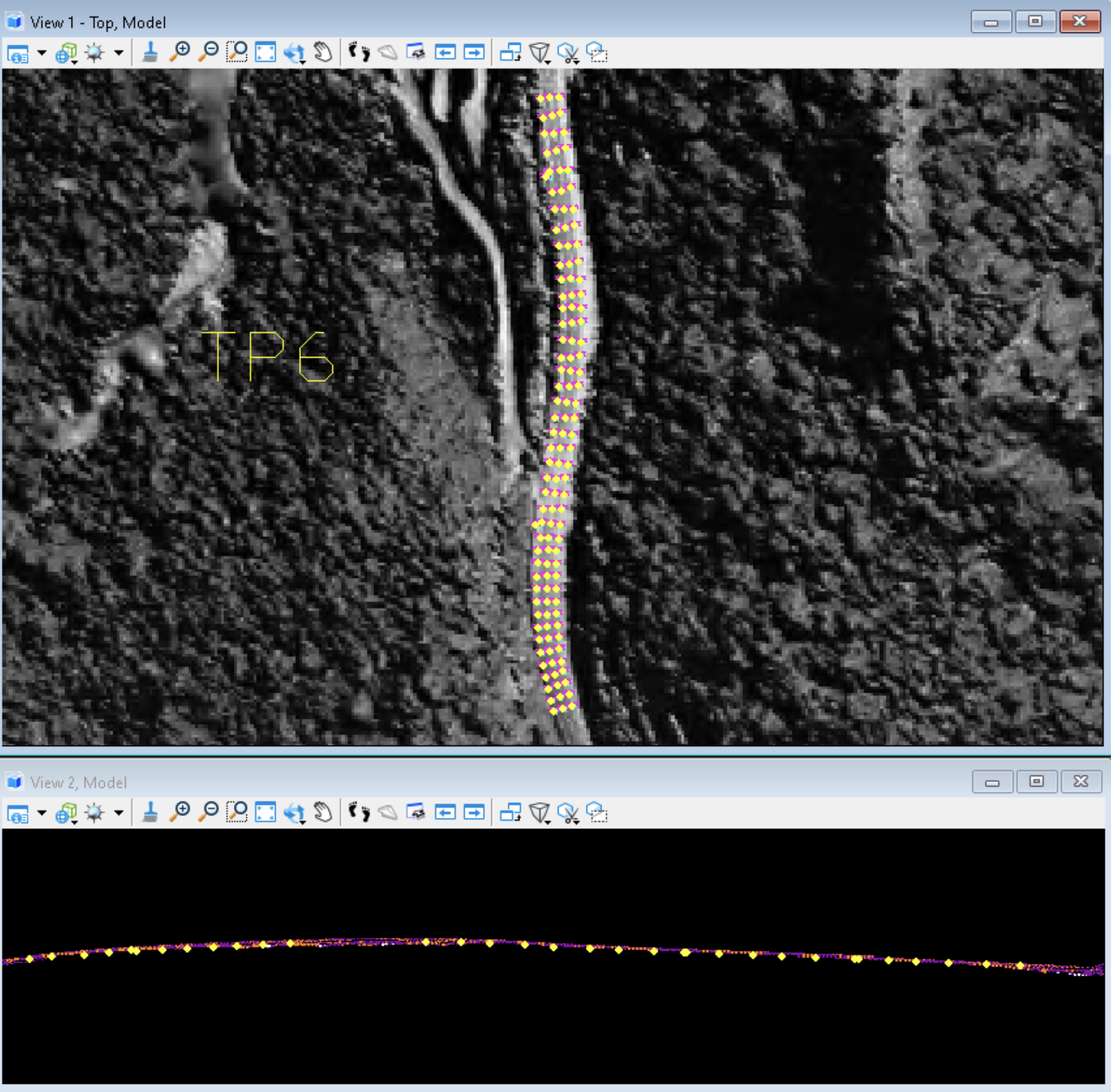
Test point accuracy assessments
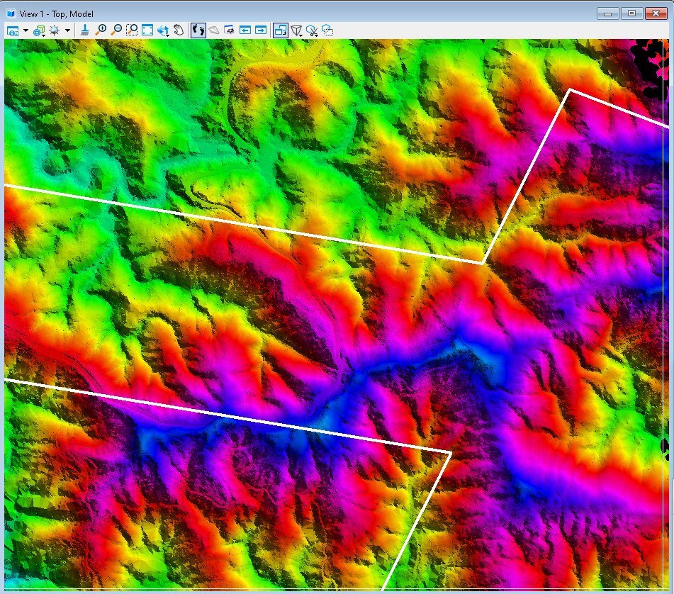
Baleh-Mapai DSM & DEM coverage
