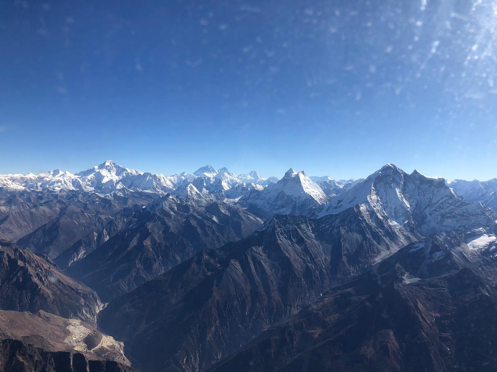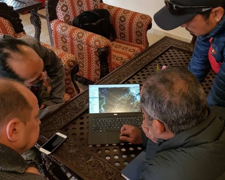
Survey coverage was of a valley near Lamabagar Village located in Dolakha District in North-Eastern Nepal.
Simultaneous LiDAR and aerial photography capture occurred over two consecutive days with a total of 22 laser strips and 1106 images captured.
Our post-processing team performed all required imagery classification, matching and correction work. This included generating classified point cloud data, producing a bare earth model DTM and DSM (with false returns removal) as well as edited ground points/model key points suitable for use in the creation of cartographic contour lines. A 15cm GSD orthomosaic was produced, with average on ground accuracy within 1 pixel.
Nepal - Lapchi Khola LiDAR Imagery Project 2019
The Nepal-Lapchi Khola LiDAR & Aerial Imagery Collection Project was completed during December 2019, for our client Geo3D.
Survey Flights
Survey flights were flown over 2 days with a total of 22 flight lines planned with a scan rate of 102.2lps. 8 flights and 2 survey runs were performed on day one, and 14 flight lights and 2 survey runs were performed on day two.
The LiDAR point cloud specification was set for 8 points per square meter, and the aerial photo resolution was set for a 15cm GSD with an 80% forward overlap and 60% side lap.
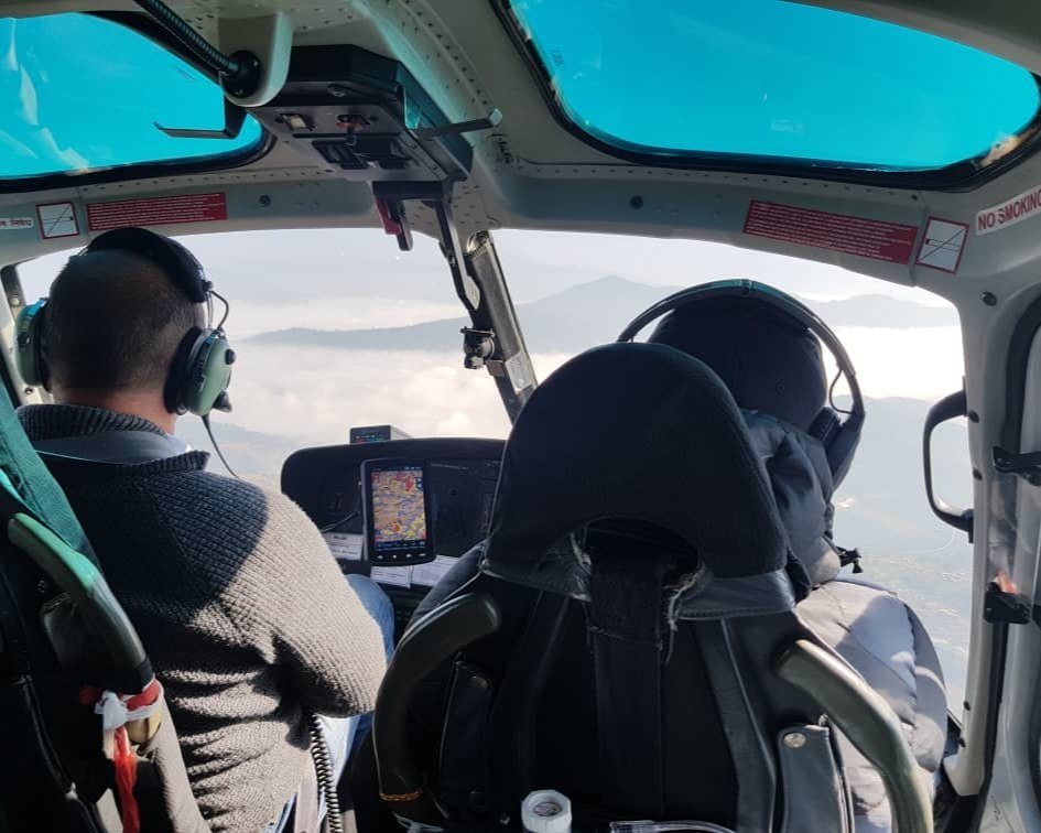
The Reign LMS Q-780i system with a pod on the skid was the LiDAR system of choice, and the Hasselblad H5Dc 50 M-pixel Metric survey camera as our medium format camera, fitted with 50mm lenses.
The IGI Aerocontrol II IMU system and the Novotel OEM GPS L1/L2 Airborne GPS system were used. A Eurocopter Model AS350 B3 survey helicopter was deployed for the project


Data Processing & Delivery
Imagery post-processing was done on the TerraSolid suite and performed in 1000m project blocks of raw LiDAR point clouds.
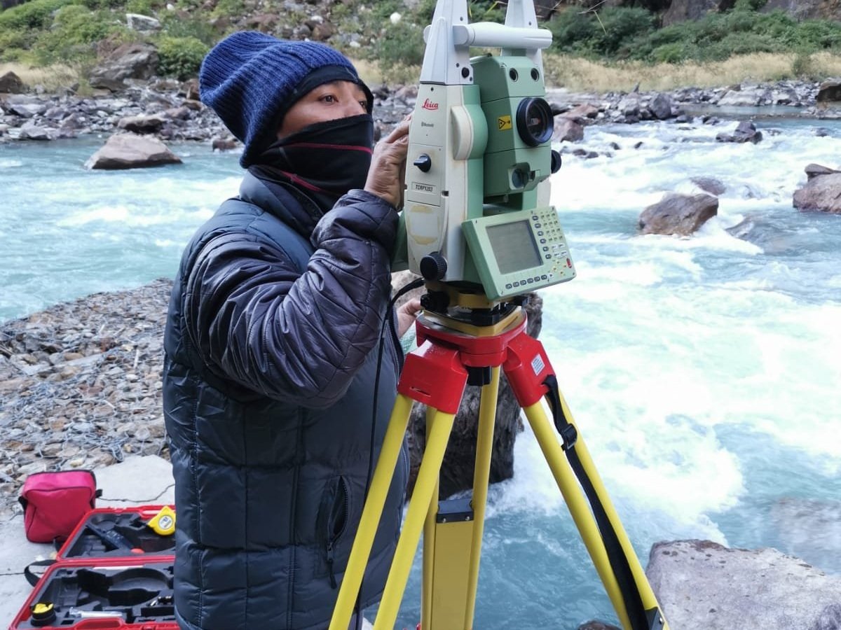
Our workflow began with rough classification of flat surface attributes, done by line, then the matching of flight lines relative to each other, and then absolute adjustment to ground control points.
Minimal corrections were required due to high accuracy achieved from low altitude flights.
Tie point matching, image orientation adjustment and orthophoto production was completed before further manual classification and error checks, after which final deliverables were produced.


