Micronesia Hydrographic & Bathymetric LIDAR Survey
2018-2019
The project objective was to acquire data for the mapping of Chuuk Lagoon (formerly known as Truk Lagoon) and for the production of new bathymetric charts. Alongside surveying and general project management services we also supplied aviation resources, such as aircraft, required for this project.
Levelling, bathymetric, GCP and GNSS static surveys were undertaken in order to:
Establish and level new benchmarks
Establish coordinates for both new and existing survey marks, derived from GPS survey observations and subsequent adjustments.
Establish and coordinate GCPs for mapping
For the installation and calibration of digital tide gauges.
Provide calibration for the LiDAR aerial survey.
Provide positional checks on waterborne bathymetric survey positioning.
From December 2018 to January 2019, we conducted hydrographic and bathymetric LiDAR surveys of Weno Island, Chuuk State of the Federated States of Micronesia, for our client the NGA Maritime Office with Woolpert Inc. consulting.
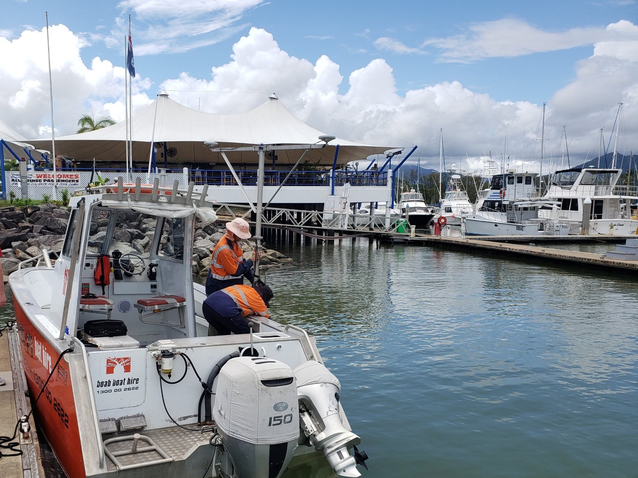
Bathymetric surveys were conducted using the MBES Multi-beam Echo Sounder in a depth range of 7m to 60m around Weno Island.
The MBES was re-installed daily with patch tests, and with a lead line to verify offsets in configuration. Tides were observed close to the survey area. Sound velocity profiles were also conducted inshore, and in the outer areas each day to retrace the bathymetry. Daily data comparisons were made in order to assess any uncertainties within the data.
A Combined Uncertainty Bathymetric Estimator (CUBE) surface of 2m, manually checked, corrected and cleaned, was generated for delivery. Sounding selection was also derived from this surface.
All digital formats of final baythmetric data were delivered as ASCII text files.
Levelling & Bathymetric Survey
The scope of the levelling survey included locating established NOAA benchmarks and then connecting them to newly established, project control benchmarks. Benchmarks were also evaluated against an automated tide gauge, installed and operated for a 32 day tide observation at Truk Jetty.
A Leica NA24 Automatic Level was used for level surveying and a Valeport Tidemaster tide gauge, mounted and bolted into a tide pole bracket, was used for levelling of benchmarks. Daily lead line depth checks were conducted.


